Home › Langkawi › Machinchang › Gunung Raya
Machinchang · Mountain
Gunung Raya — Langkawi's Highest Peak
A winding rainforest road to the island's 881-metre roof — hornbills and langurs on the way up, a long view if the cloud lifts.
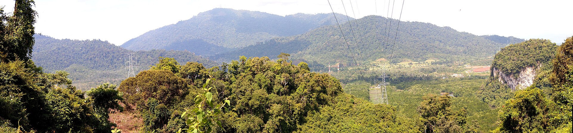
Gunung Raya is Langkawi's highest point at 881 metres, and its appeal is as much the drive as the summit — a paved, winding road climbing about 13 km through rainforest, with a real chance of hornbills, dusky langurs and macaques on the roadside. On a clear morning the view runs to Thailand; on a cloudy afternoon you'll see the inside of a cloud.
What to expect up top
Go for the wildlife and the drive as much as the view, and go on a clear morning — the summit clouds over most afternoons. There's no food or water anywhere on the mountain, so bring your own, and it's noticeably cooler and windier at the top.
Watch out
The old observation tower / café at the summit is, by multiple recent accounts, closed or abandoned — don't drive up expecting a working deck or a coffee. The view is from the roadside and clearings.
| Height | 881 m — the island's highest |
|---|---|
| The road | ~13 km paved, winding, ~30 min each way; drive in daylight (unlit) |
| On foot | The 4,287-step "Eagle Stairs" — for fit hikers only |
| Wildlife | Hornbills, dusky langurs, macaques, flying foxes — the real reason to go |
Self-drive or take a taxi that waits; allow 1.5–2 hours round trip. A guided night wildlife drive up Gunung Raya is a different, worthwhile way to do it.