Langkawi · Geology
Why Langkawi Is a UNESCO Geopark
Malaysia's oldest rock, a lake in a collapsed cave, and mangroves growing on an ancient seabed — Langkawi is a geology lesson you can swim in.
Langkawi became a UNESCO Global Geopark on 1 June 2007 — the first in Malaysia and in Southeast Asia. That's not a tourism-board slogan: the whole 99-island archipelago is a rare, readable record of the deep past. The mountain behind the cable car is the oldest rock in Malaysia — around 550 million years old — and the island's three signature landscapes are each a different chapter of that story. Understand the rocks and Langkawi stops being just a beach.
What "geopark" actually means
A isn't a fenced-off nature reserve. UNESCO recognised Langkawi for its geoheritage — the caves, sea stacks, cliffs and fossils — together with its wildlife, its villages and the way locals make a living from the land. It's a lived-in landscape managed so the geology, the rainforest and the community hold together. Practically, for a visitor, it's divided into three geoforest parks, and you reach each a different way.
The rocks, oldest to youngest
Langkawi is a stack of ancient seabeds — laid down in shallow seas and river deltas, then folded, baked by granite, and finally pushed up out of the water.
| Machinchang (Cambrian) | ~550-million-year-old sandstone — the oldest rock in Malaysia, and where its oldest fossils (trilobites) were found |
|---|---|
| Setul (Ordovician–Devonian) | Dark fossil-rich limestone — the rock that forms Kilim's karst cliffs and caves |
| Singa (Devonian–Permian) | Contains 'dropstones' — glacial debris, evidence Langkawi once sat near a cold edge of the ancient Gondwana supercontinent |
| Chuping (Permian) | Pure limestone and marble — the rock of Dayang Bunting and its lake |
The three geoforest parks — and how to see them
- Machinchang Cambrian Geoforest — the ancient sandstone mountains, seen from the cable car, which glides straight over the 550-million-year-old rock to the SkyBridge. The Seven Wells waterfall sits at its foot.
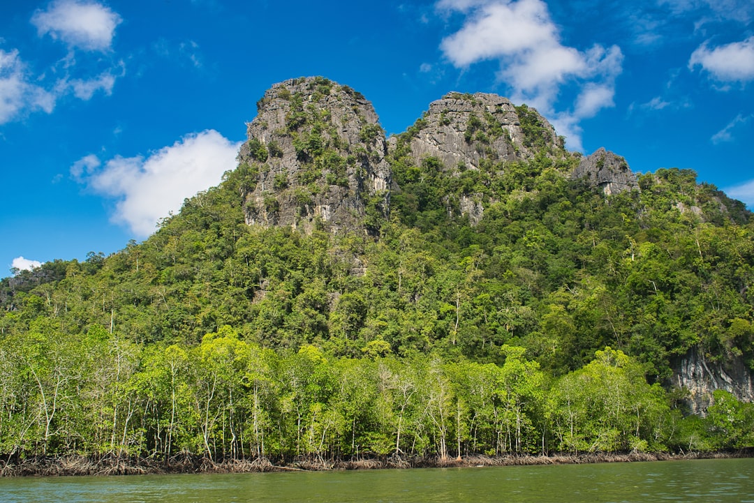
- Kilim Karst Geoforest — cliffs, caves, sea stacks and rivers on the east coast, seen by boat.
- Dayang Bunting Marble Geoforest — a Permian marble island whose famous freshwater lake sits in a collapsed limestone cave, reached by island-hopping boat.
Tip
Do all three and you've effectively read hundreds of millions of years of Earth history — by gondola, by boat, and with a swim. That's the case for treating Langkawi as more than a beach stop.